spokes2112
Charter Member
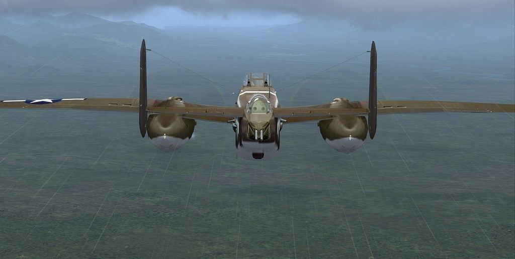
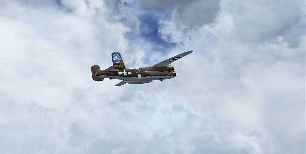
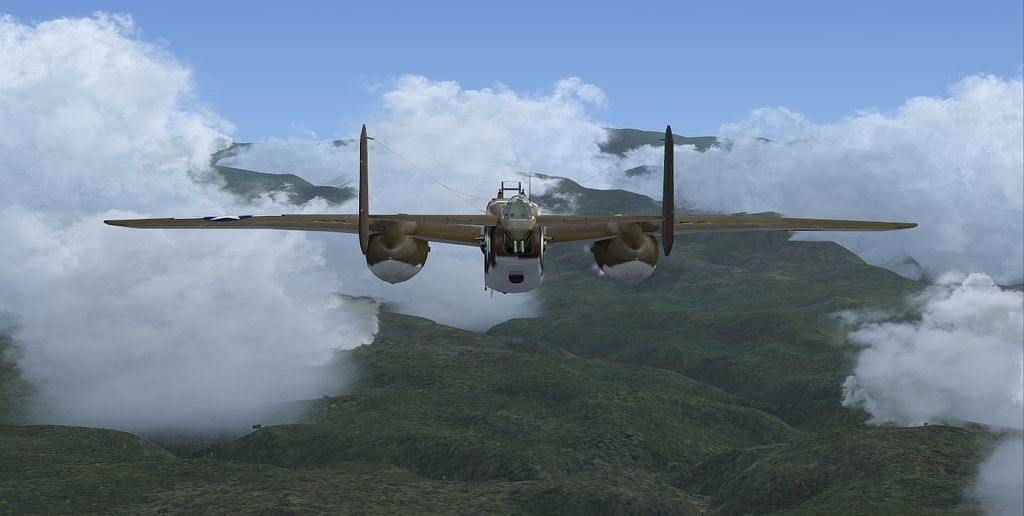
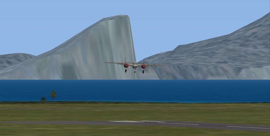
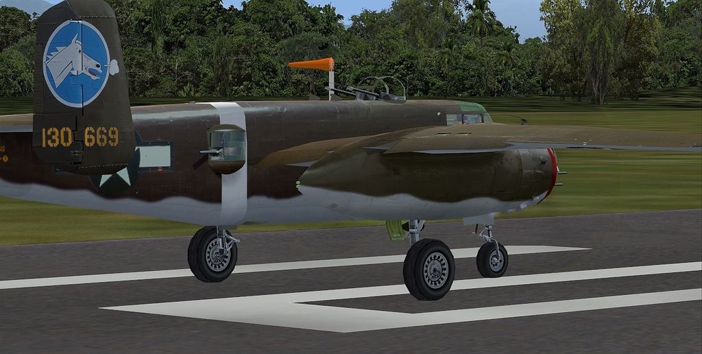
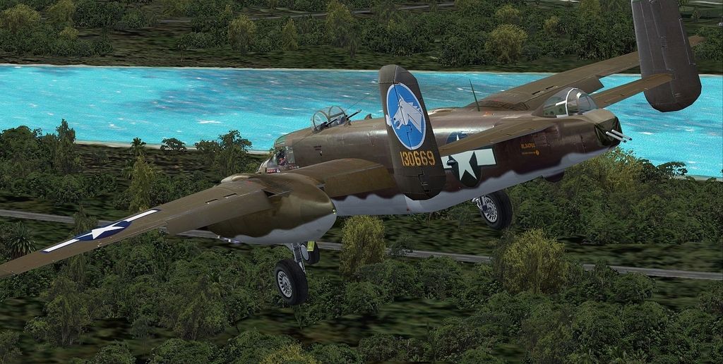
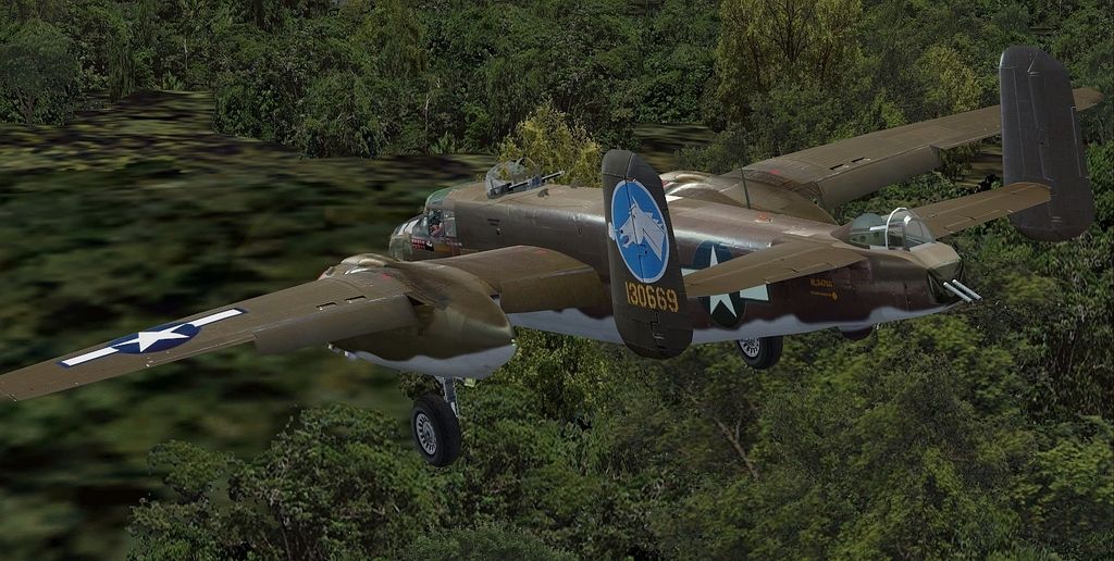
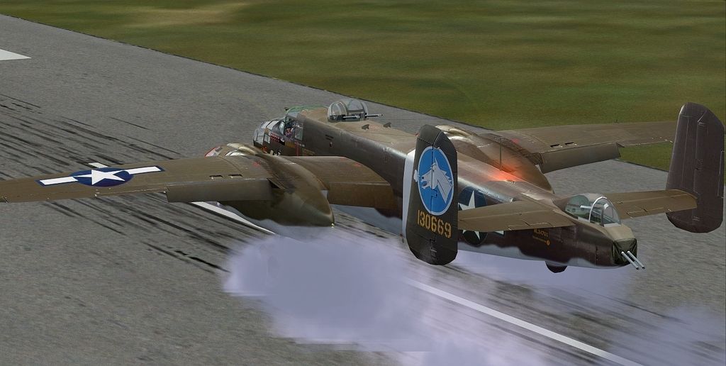
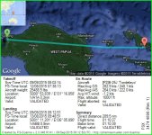
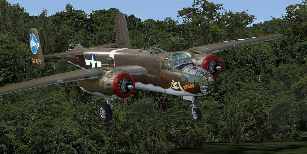
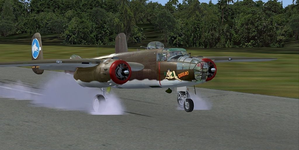
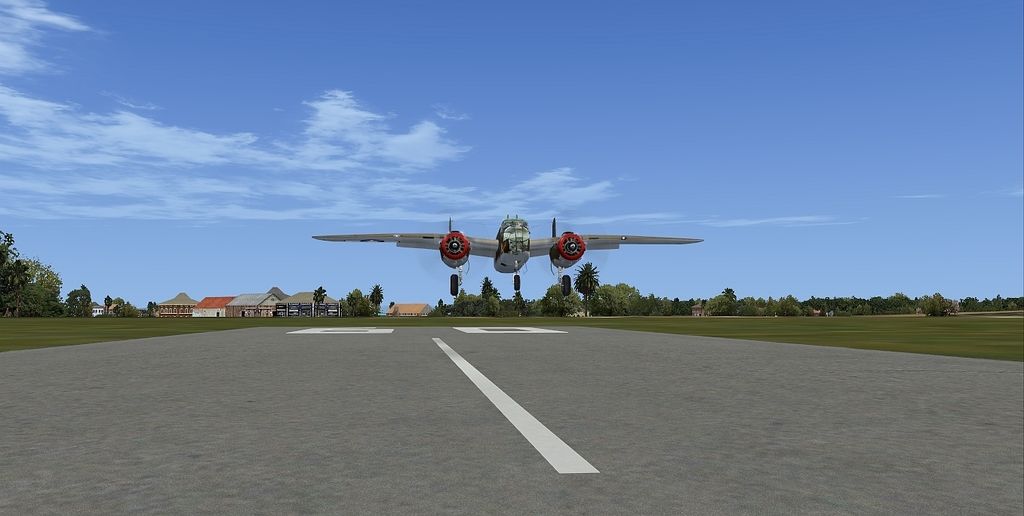
Taking off in the MAAM-Sim B-25D "Tondelayo" to start my return in Class II. FSX, FSRealWX Pro.
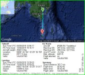
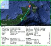
Malita (RP17) --> Naha (WAMH)
Malita (RP17) --> Naha (WAMH)
There seems to be an uptick in Political comments in recent months. Those of us who are long time members of the site know that Political and Religious content has been banned for years. Nothing has changed. Please leave all political and religious comments out of the forums.
If you recently joined the forums you were not presented with this restriction in the terms of service. This was due to a conversion error when we went from vBulletin to Xenforo. We have updated our terms of service to reflect these corrections.
Please note any post refering to a politician will be considered political even if it is intended to be humor. Our experience is these topics have a way of dividing the forums and causing deep resentment among members. It is a poison to the community. We appreciate compliance with the rules.
The Staff of SOH

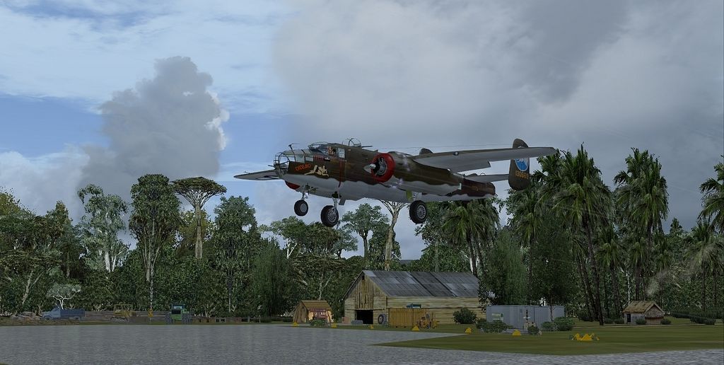
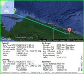
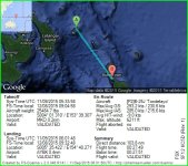
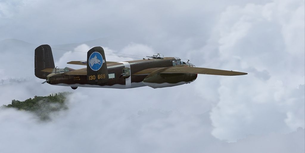
 Hopefully the flight will change that.
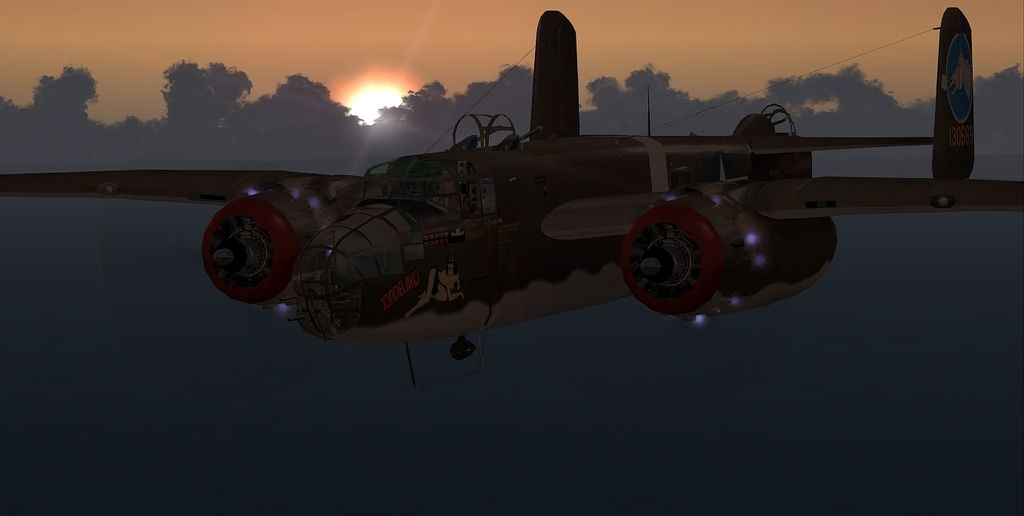
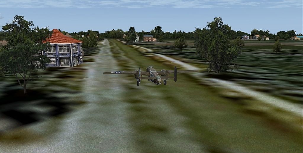
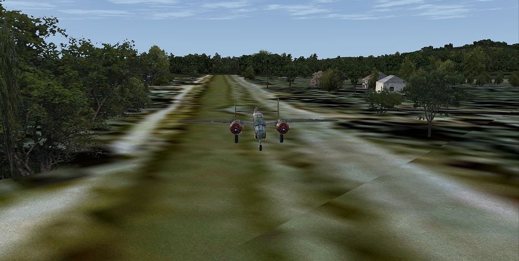
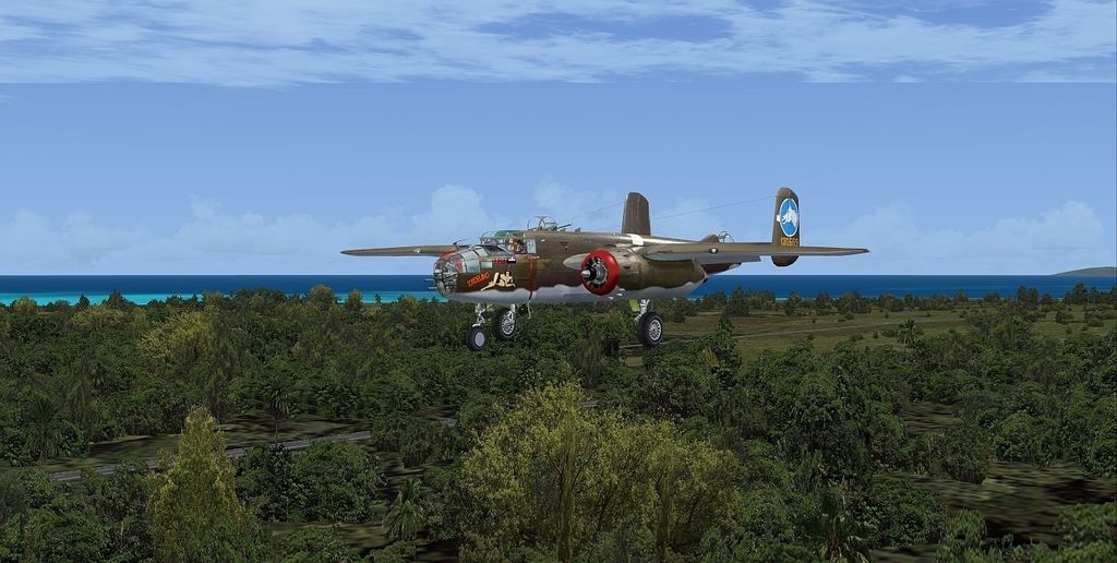
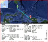
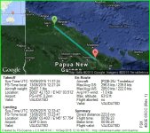
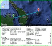
 from Biak (WABB) - I heard it's like find a needle in a pile of needles. Ha!