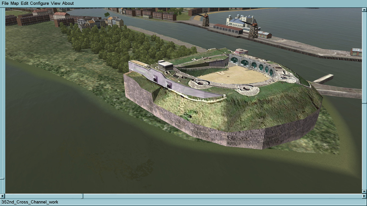
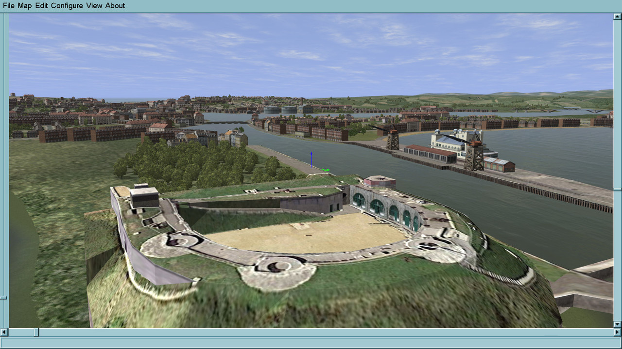
Sorry I got a bit carried away with the screenies
post away. we enjoy looking at them
Please see the most recent updates in the "Where did the .com name go?" thread. Posts number 16 and 17.
Please see this thread for updates. Update Thread
SOH ADMINISTRATIONSorry I got a bit carried away with the screenies
The cobbled together ports and harbours I added to the original ETO were simple adaptions of what was available due to my very limited skills.
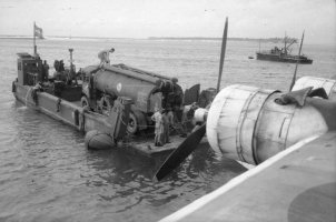
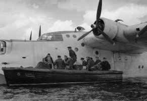
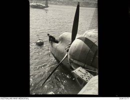
Any info that you have would be most welcome.Would be nice to see proper representations of Mount Batten and Pembroke Docks to showcase the excellent Sunderland and Catalina models we now have. Pembroke had 99 aircraft moored around the bay at it's peak. I have the After the Battle detailed plan of Batten and the 6" Location Plan of Pembroke if any help.
Gladly. Can e-mail the plans to you - see private message.Thanks for those port and harbour models, I appreciated their existence in the ETO and Bob when I flew over them.
Any info that you have would be most welcome.
 Amazing stuff, I love it.
Sleep? What's that?Do you ever sleep Glen?

I have worked on the Portland area before in other sims and I have a good idea of what I want to do .Interesting work there R, yes around Portland there's quite a bit...you could send yourself mad doing everything...where do you stop!
Thank's mate.BTW that low cloud shot in your previous is stunning (again!), very realistic.
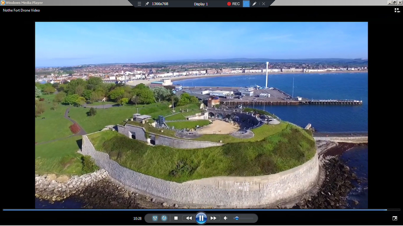
This is interesting.Years ago I used to use a programme at work called Canoma, which did this 3D wrapping of photos/pics, it got bought out by Adobe and put into Atmosphere etc. Was easy to use and gave very good results, just like the Nothe Fort.
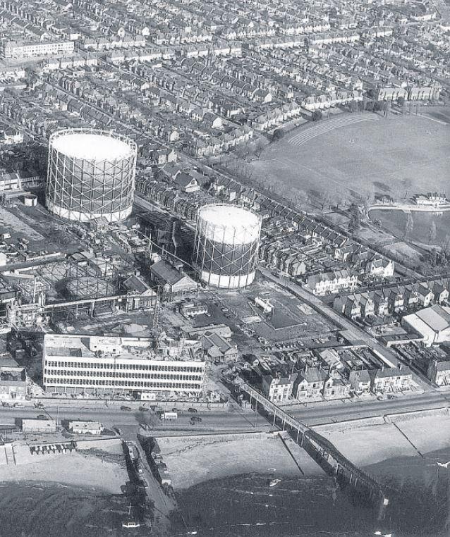
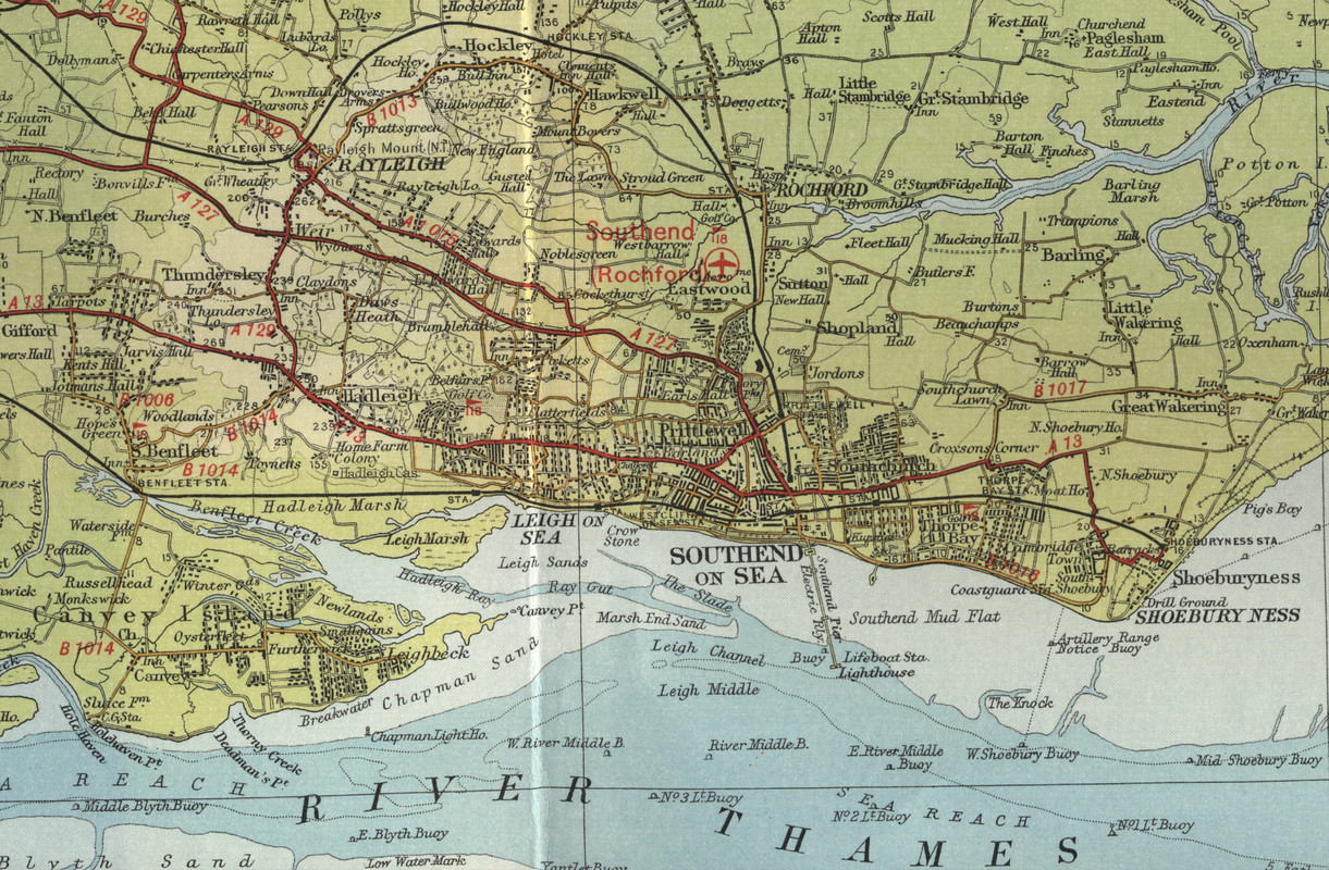
I googled '1940's Southend-on-sea map' and this map was one of the results. If you fly quick mission Rochford you will see that the current modern day sprawling mass ingame is quite large when compared to 1940's development


I posted the map to indicate that Southend, like Rochester, is going to be a lot smaller than it is currently rendered. I usually remove all trace of the autogen buildings after placing my modules.In theory you could edit the lcf terrain map to cut back the urban sprawl. Not going to be nearly as accurate as your facilities though.
No Clive, you didn't send that one, it looks pretty good.I have a model gas holder, can't remember if I've sent it to you or not?
Thank you Kevin for reminding me of the existing Cfs2 models. I have a Cfs2 Bob install backed up on my external hard drive. I'll check these out later today.You're welcome to convert any of the CFS2 infrastructure under my name or Westfront's name. Objects include Southend Pier, gas holders, Battersea Power Station with only one chimney and Felixstowe flying boat base.