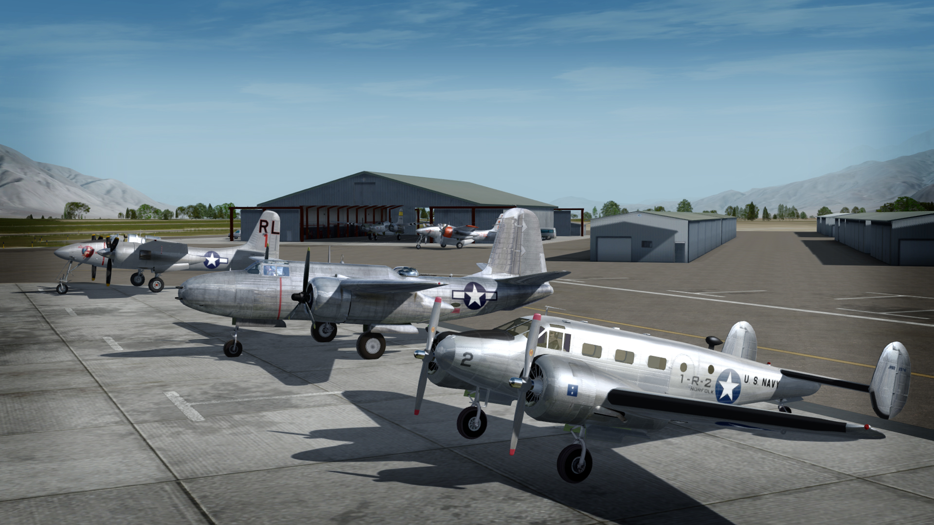
I must say that I am REALLY jealous. One thing I've never learned how to do with FSX is these group shots. How DO you do that? I have a collection of warbirds I'd love to make a group shot like this of. (The entire Flying Heritage Collection of Paine Field, WA)
What is the trick or tool to do this?
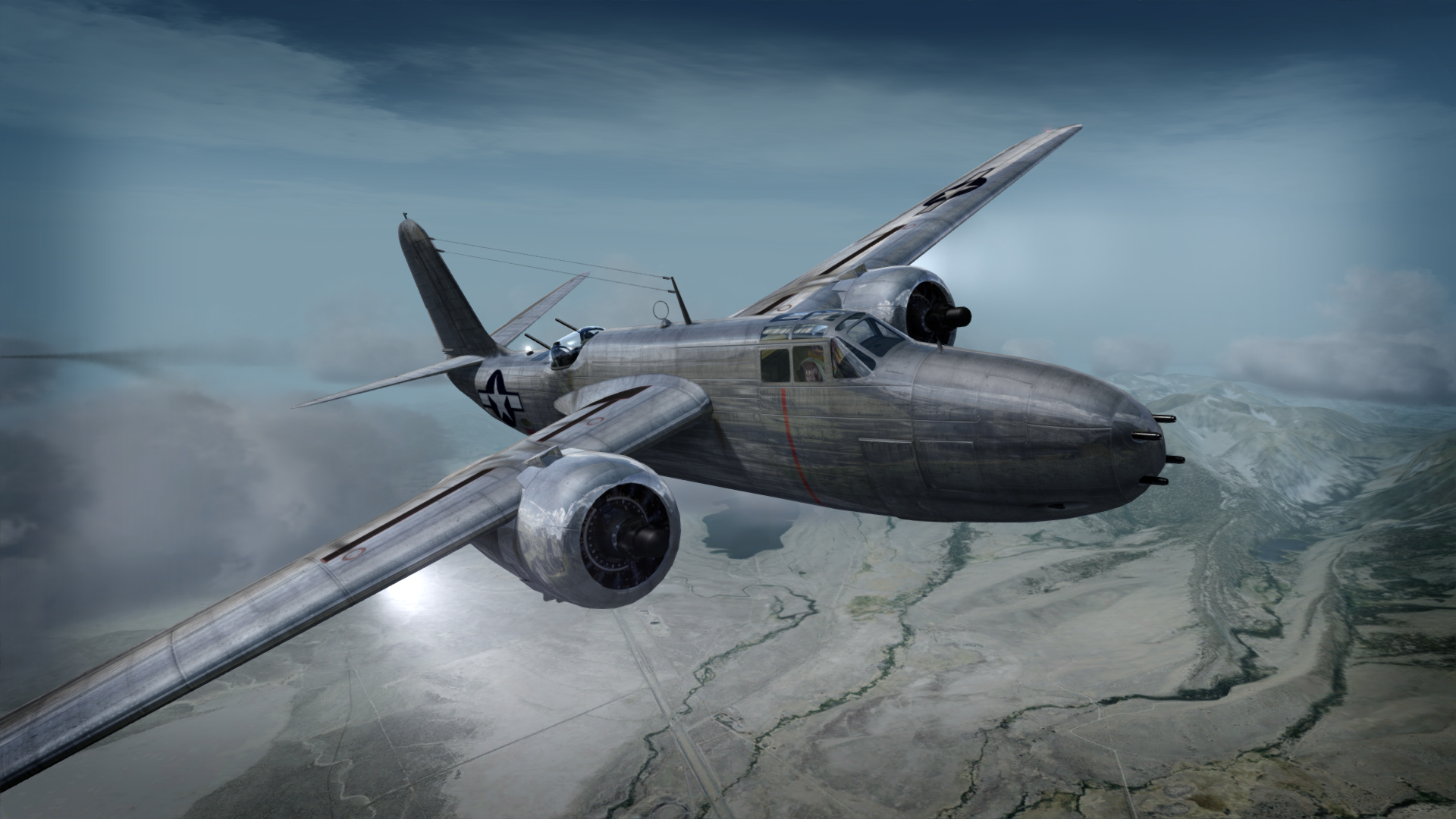
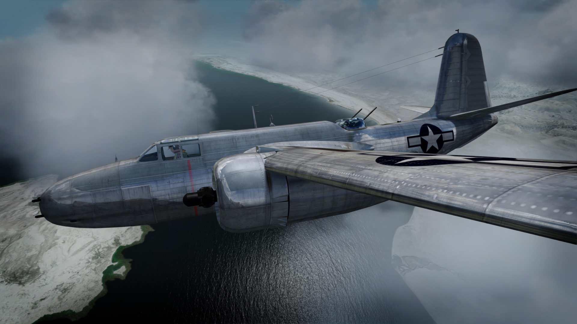
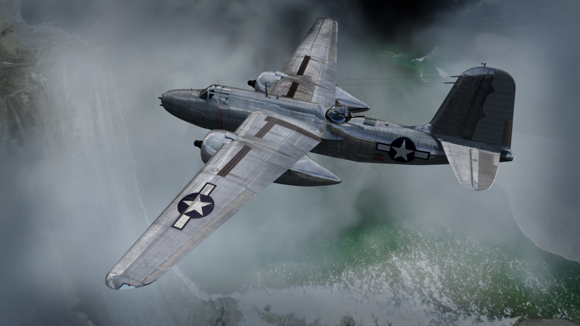
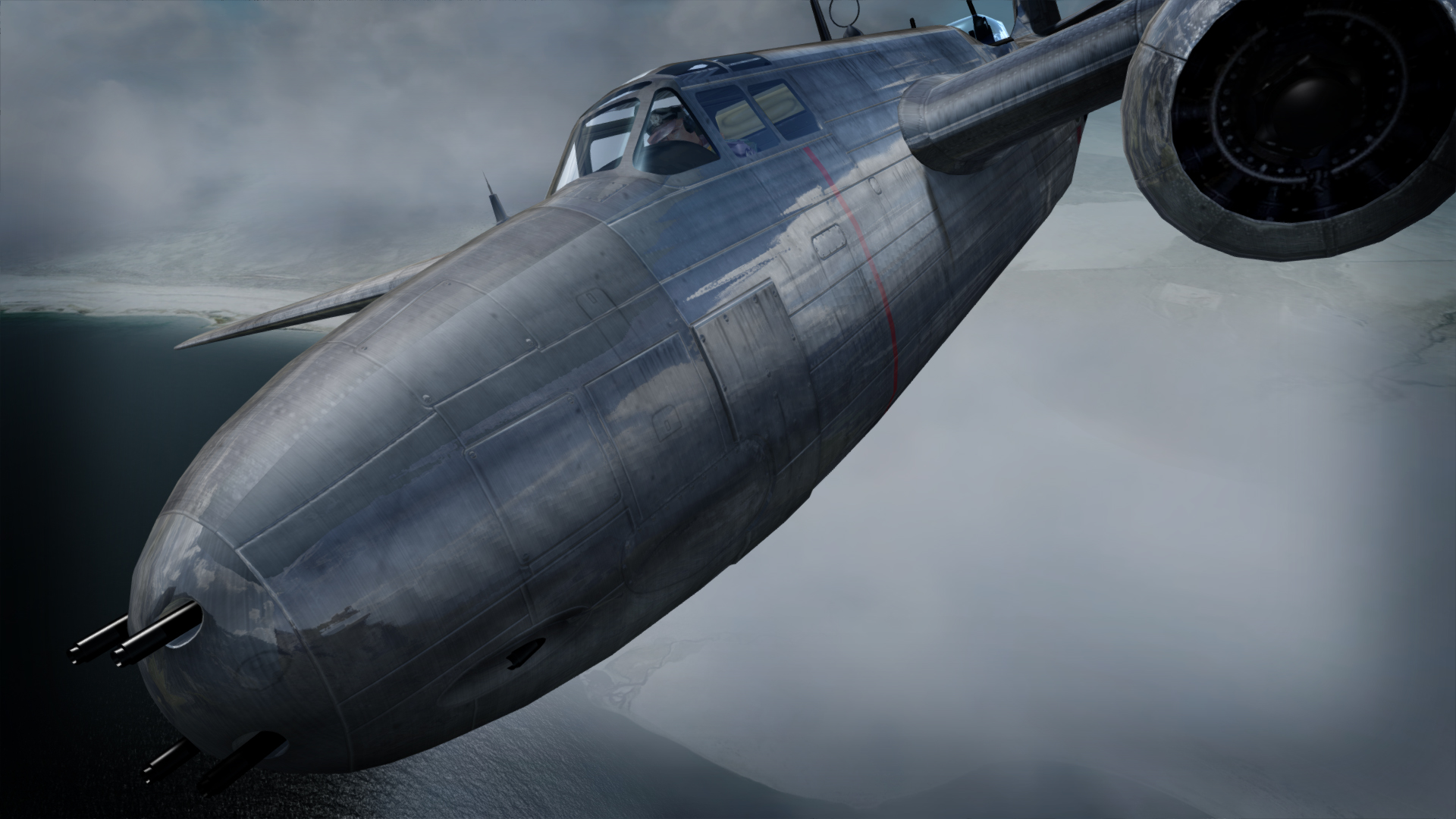
The actual airplane "live" in the sim for this shot was the A-20 Havoc. The rest are static models.
In FSX or Prepar3D up to version 3, I would suggest Static Airplane Model Maker for making libraries of static aircraft that can be placed using Instant Scenery or ModelConverterX.
Instant Scenery is by far the more popular approach. That's how I did it for a long time.
For Prepar3Dv4, Instant Scenery is not on the table, so the only option is MCX. This is a more complex approach, but eliminates a host of display issues and is my preferred method now.
For MCX I create individual models that are stripped down to a basic display model. When the individual models are done, I place them into the scenery...in this case my WIP scenery KBIH Eastern Sierra Regional airport.
3DS Max or GMAX
I use 3D Studio Max 2015 and the current Prepar3Dv4 SDK. I locate the models in their respective locations as a layer in the scenery model file, using a photo real and calibrated ground poly template as the guide.
The process
I use Airport Design Editor 2 to get all of the GPS model placement data including the four corners, altitude and heading. Most importantly, I get the exact runway size, heading and elevation in ADE. I use a technique to match my SBuilderX "template" satellite image to ADE using GPS data obtained from the sat image capture. It's a tiny bit technical, so I won't go into it here, but it produces an absolutely reliable bitmap template for modeling work.
In 3D Studio, I make a rectangle the exact dimensions, in meters, of the ADE main runway. The runway rectangle is centered to exactly zero X,Y and Z grid coordinates, and rotated to it's approximate heading.
The satellite photo image is then imported into Max and roughly placed. I put the image "below" the runway poly. With the runway rectangle absolutely centered to the grid, the satellite image is moved on the X and Y axis until it matches the runway. The satellite image is
always oriented absolute north, so adjusting the runway poly "heading" to match the sat photo lines up the runway perfectly.
The runway ground poly and photoreal image are, at this point, exactly calibrated to match the 4 corner GPS coordinates (size) and heading of the actual airport location in the simulator.
When this is accomplished the airplane models, and everything else, can be added to the scenery model.
The airplane model group is imported into MCX, the GPS lat/long data are programed in and MCX places the group as a scenery .bgl, in the folder you select.
I prefer this method because I don't have to open and maneuver around in the sim to place objects. I just zap them out in MCX and forget about it.
It sounds complex, but it's not really, and once you do it a few times it becomes second nature.
Hope that wasn't clear as mud!


 That should be really helpful to those wanting to express their bare metal livery artistry now.
")