• There seems to be an uptick in Political comments in recent months. Those of us who are long time members of the site know that Political and Religious content has been banned for years. Nothing has changed. Please leave all political and religious comments out of the forums.

    If you recently joined the forums you were not presented with this restriction in the terms of service. This was due to a conversion error when we went from vBulletin to Xenforo. We have updated our terms of service to reflect these corrections.

    Please note any post refering to a politician will be considered political even if it is intended to be humor. Our experience is these topics have a way of dividing the forums and causing deep resentment among members. It is a poison to the community. We appreciate compliance with the rules.

    The Staff of SOH

  • Server side Maintenance is done. We still have an update to the forum software to run but that one will have to wait for a better time.

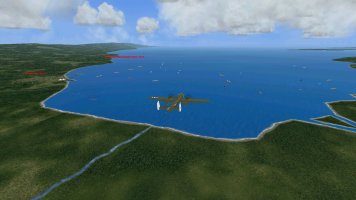
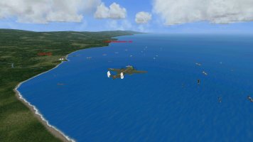
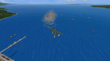
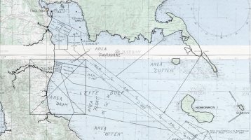
The Battle of Leyte Gulf

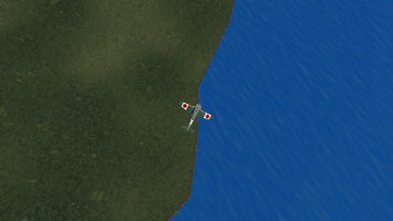
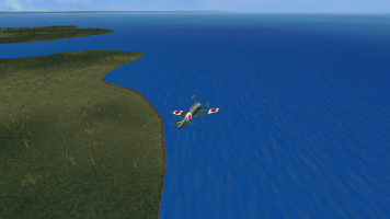
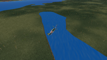
Yes, unfortunately for some reason when I tried to decrease distance from the water I no longer could create a buffer line. (Likely my computer problem) I also believe if I had got closer to the water with the texture the waterline would cut the shore texture to a straight edge.
 
There still is a sliver of possibility. Perhaps a strip of water matching the adjacent water on the edge of texture.
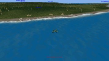
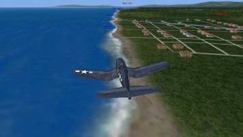
Screenshot (85).pngScreenshot (86).pngScreenshot (87).png
 
I see now that the shoreline is a special case. All the other vector textures get clipped by the water (which makes perfect sense) but the shoreline is the only one allowed to overlap the water and use alpha channel to blend. If only it was possible to just define more than one variant of shoreline texture.
 
By that I take it you mean whatever inland/ river shoreline one has, the same must be on the sea/ocean shoreline? So back to square one if that is hard coded!
 
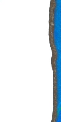
I am not certain its back to square one yet. My thought is that if we had a texture with a sliver of water color on the waterside of the shore texture that was a straight edge water side it still might work as a vector.
philippines_inland_shorelines.jpg
 
Well yes, good for rivers, etc., but waves on the sea shore? Of course that may not be an issue on your current map.
 
Well yes, good for rivers, etc., but waves on the sea shore? Of course that may not be an issue on your current map.
May not be a issue if the sliver of water is very slim. The pic was something I just put together to suggest the solution.
 
I am not certain its back to square one yet. My thought is that if we had a texture with a sliver of water color on the waterside of the shore texture that was a straight edge water side it still might work as a vector.

I tried that once for a river but I could not get the vector mosaic water to match with the dynamic water to my satisfaction. I hope a better artist can overcome this. Looking forward to your results
 
I believe I am done with it. It would have been nice to know before I worked on this that you had already traveled this road.
 
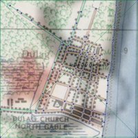
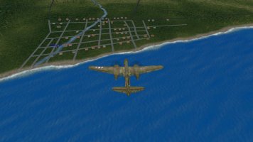
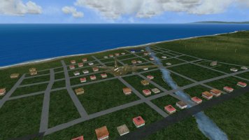
Been in the back room at the grinder making some more sausage. Started off with a topo or map. Some maps only have one coordinate and Global Mapper requires 2 in order to geo-reference a map. Maps usually have a distance standard that you can use to measure distances and size of the map. Knowing that there are 30.87 meters to one arc second in the longitude you can calculate the second coordinate from a given longitude coordinate. Placing that map in GM you end up with a facility that you can use to create vector lines. Where possible BofLG will have road vectors created in GM for the facilities files rather than in a texture. Similar to RS China. Ignore the river in the middle of the facility, the rivers have not been updated yet.location_dulag_city.jpg

then export the map into g-max to populate a facilities file.capture_004_21122024_154323.jpgcapture_002_21122024_154255.jpg

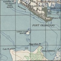
Same process was used to create Port Olongapo Harbor facility and the ija controlled Olongapo Harbor facility with seaplane tender take-off.
port_olongapo_harbor.jpgcapture_004_21122024_185203.jpg
 
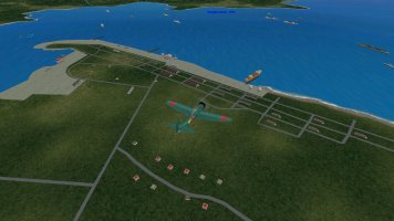
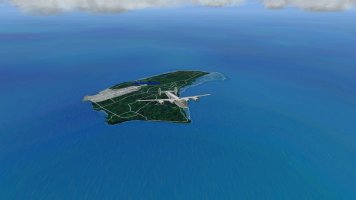
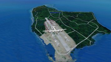
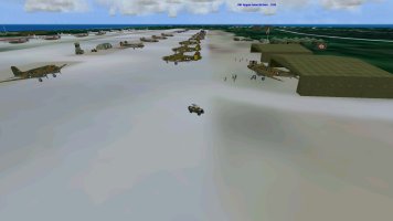
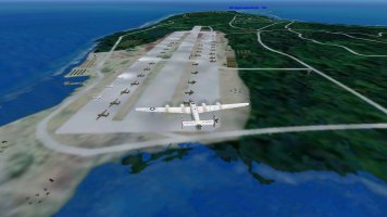
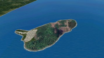
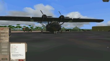
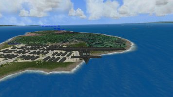
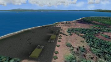
Its been awhile since posting progress screenshots of BofLG. Work has continued in preparation for the creation of missions. There was a need for a land based airfield for heavy bomber missions to soften up defenses of the IJA prior to the Leyte Gulf invasion. Unfortunately Angaur Island was outside of the BofLG theater dimensions.
So have used the 20 year old concept of creating a floating island first used in the PTO Solomons expansion.
angaur_airfield1.jpgangaur_airfield2.jpg
 
Yes, Screenshot of Angaur Island from GE used as the texture for a floating island placed within the confines of the theater.
Back in the day working with Ed, Joost, and Clive on the Solomons expansion the theater was populated with many islands that were outside the coordinates of the theater. The islands are moved in and out of the theater depending upon the missions by a version of scendb created by Martin Wright..
 
Back
Top